Geologists have identified 2 large groundwater sources beneath Xinjiang’s Taklamakan Desert, raising the possibility of additional water for agriculture and projects designed to control shifting sand around the desert’s edge.
The discoveries were made during a water-finding project led by the geological bureau of the Xinjiang Uygur autonomous region. one source is at the desert’s southern boundary in Andir township, Minfeng county. The other lies farther inside the desert, south of the Mazartag Mountains.
The findings challenge the assumption that underground water in the Taklamakan is limited to stagnant or salty supplies. The newly identified sources may therefore broaden options for managing water needs in one of China’s most arid regions.
Why the groundwater matters
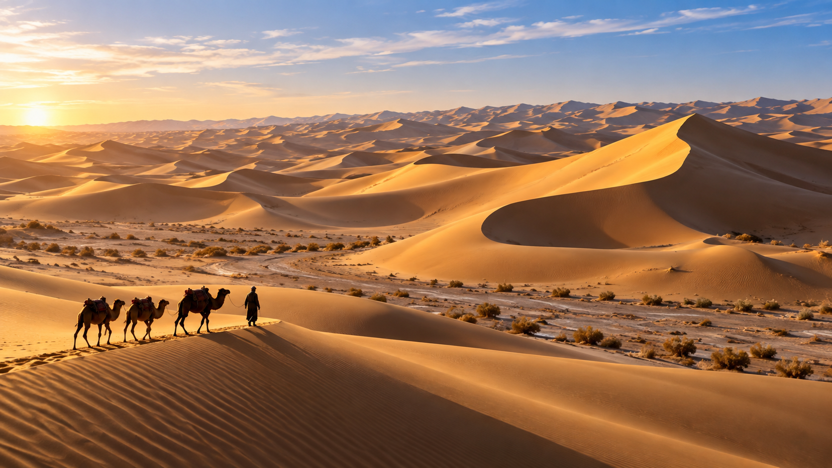
The Taklamakan is located in Xinjiang’s Tarim Basin and covers 337,600 sq km, an area described as roughly comparable to Germany. It is also the world’s second-largest shifting sand desert and has been called the “sea of death” because of its mobile dunes and severe climate.
Water remains a central issue for efforts to stabilise the desert’s margins. China has pursued afforestation and other anti-desertification measures there under the Great Green Wall initiative. These projects are intended to limit sandstorms and protect infrastructure, but they require water in a region where rainfall has historically been limited and evaporation has been extreme.
The desert’s edges are also being used for food production. Among the projects is a desert wheat farm in Kunyu, a county-level city on the southern side of the Taklamakan. Pivot and drip irrigation have been used in arid parts of China to reduce water consumption, yet supply remains a concern for farming initiatives near the desert.
Brackish water testing
Alongside the groundwater search, researchers have built a test station to examine whether brackish water can be used for irrigation and desertification control. Brackish water contains more salt than fresh water but less than seawater, meaning its use depends on local conditions and the tolerance of crops.
The United Nations Food and Agriculture Organisation has said non-conventional water resources, including brackish water, could contribute to irrigation. Their use remains limited and requires assessment of the climate, soil and crops in each area.
Researchers in China and elsewhere have been testing brackish water for salt-tolerant crops. Desalination may still be needed for some uses, so the test station’s results could help determine where the resource is practical for farming or land-management work.
Fresh water accounts for only a few per cent of Earth’s total water supply. Brackish water is consequently being considered an underused resource for demands including crop irrigation and cooling artificial intelligence data centres.
A changing water landscape
The new findings come as the Taklamakan region faces both long-standing aridity and more intense recent weather. Global warming has been linked to a rise in heavy rainfall and unprecedented flooding in western China, creating risks for infrastructure even as water shortages remain a challenge for desert-edge projects.
Earlier research also pointed to major water reserves beneath the Tarim Basin. In 2015, scientists from the Chinese Academy of Sciences’ Xinjiang Institute of Ecology and Geography reported that an underground ocean below the basin could have a volume greater than the combined volume of North America’s 5 Great Lakes.
The region’s wider land-management programme has included a 3,050km green belt made up of trees, shrubs and sand-blocking solar panels. Completed in 2024, the barrier surrounds the desert and was built to reduce sandstorms and help protect regional infrastructure.
The newly identified sources do not by themselves establish how much water can be extracted or how it would be used. The ongoing testing of brackish water is focused on whether supplies beneath and around the desert can support irrigation and desertification control without creating new problems for soil or crops.
Conclusion
The groundwater discoveries add to evidence that the Taklamakan contains potentially useful water resources beneath its harsh surface. Their importance will depend on further testing, particularly for agricultural and anti-desertification applications along the desert’s edge.
Frequently Asked Questions
Q. Where were the groundwater sources found?
one was identified in Andir township in Minfeng county at the southern edge of the Taklamakan Desert. The second was found south of the Mazartag Mountains inside the desert.
Q. Why are the discoveries important?
They could provide additional water for agriculture and projects aimed at controlling desertification and shifting sand.
Q. What is being tested at the new station?
Researchers are testing the use of brackish water for irrigation and desertification control.
Q. What is brackish water?
It is water with more salt than fresh water but less salt than seawater.
Q. How large is the Taklamakan Desert?
It covers 337,600 sq km in Xinjiang’s Tarim Basin.
Q. Why does farming near the desert need new water options?
Water supply remains a concern for crop projects along the desert’s edge, even where water-saving irrigation methods are used.
Q. What earlier underground-water finding is linked to the region?
Research published in 2015 suggested that an underground ocean beneath the Tarim Basin could exceed the combined volume of North America’s 5 Great Lakes.