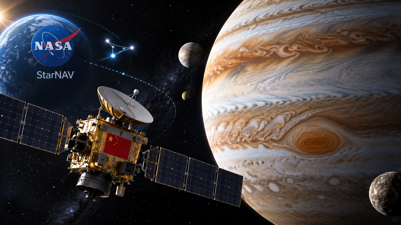
China has demonstrated a star-based navigation method that could help spacecraft operate farther from Earth, where communication delays make direct control difficult. The test is being linked to Tianwen-4, the country’s planned mission to Jupiter in 2030.
The approach, called stellar aberration navigation, detects extremely small changes in the apparent positions of stars. Those measurements can be used to calculate a spacecraft’s speed, direction and position without depending continuously on commands from ground controllers.
What Tianhui-7 tested
The Tianhui-7 satellite carried out the experiment in low Earth orbit for 20 hours at an altitude of about 500km. Earth was used as a stand-in for Jupiter during the trial. 3 precision star cameras graphed separate areas of the sky, while an infrared sensor observed the planet below.
Researchers from the China Academy of Space Technology compared the satellite’s independently calculated position and movement with GPS data. During the test, the system reached a position error of around 5km and a velocity error of 5 metres per second. After systematic errors were corrected, the reported results improved to better than 4km for position and 4 metres per second for velocity.
Tianhui-7 was launched on a Long March 4B rocket from the Jiuquan Satellite Launch Centre in northwestern China on December 30, 2025. Xinhua initially described the satellite’s roles as geographic mapping, land surveys and scientific research.
The researchers said the result was comparable with the performance of Nasa’s antenna-based Deep Space Network in the low Earth orbit test. They also cautioned that the technique’s performance around Jupiter remains unproven.
Why Jupiter creates a navigation challenge
Jupiter may be as far as 900 million km from Earth. A radio signal can require more than 50 minutes to travel in one direction over that distance, making real-time intervention by mission controllers impossible.
China can track spacecraft as far away as Jupiter, but the researchers said its deep-space tracking is not as precise as the systems operated by Nasa or the European Space Agency. Autonomous navigation could therefore provide a spacecraft with another way to determine its state while it is travelling or operating far from Earth.
Tianwen-4 is described as China’s first mission to explore the Jupiter system. Its planned work includes studying Jupiter and its moons, with attention to their evolution, environments and internal structures.
How the star measurement works
Stellar aberration was identified about 300 years ago by English astronomer James Bradley. Stars appear slightly displaced because an observer or spacecraft is moving as light arrives. The stars are not actually moving back and forth; their apparent positions change because of the motion of the observer.
The effect is predictable but extremely small. By measuring the displacement, navigation systems can work backwards to estimate the speed and direction of a spacecraft. The principle is similar to the apparent angle of rainfall seen from a moving car.
Nasa funded the StarNAV experimental project in 2020 to develop the highly precise star-position measurements needed for this form of navigation. The required angles are measured in milliarcseconds, an angular scale described as comparable to the apparent width of a grain of rice viewed from 500km away.
Limits of the current system
Tianhui-7’s star cameras had an accuracy of about 50 milliarcseconds. To compensate for tiny camera movements caused by launch vibrations and temperature changes, the Chinese team added an optical reference system that monitored shifts in the instruments.
China is also working on more precise milliarcsecond-level star cameras. A prototype has been built and subjected to ground tests, according to a 2025 article on the China Aerospace Science and Technology Corporation website.
The current orbital demonstration shows that the method can produce useful navigation data near Earth. It does not yet establish how accurately it would work in orbit around Jupiter, where operating conditions would be different.
Conclusion
The Tianhui-7 trial gives China a tested foundation for autonomous deep-space navigation ahead of Tianwen-4. The technique has produced measured results near Earth, but its suitability for the Jupiter system still requires an orbital demonstration there.
Frequently Asked Questions
Q. What navigation technology did China test?
China tested stellar aberration navigation, which uses apparent shifts in star positions to estimate spacecraft movement.
Q. Which satellite conducted the experiment?
The test was performed by the Tianhui-7 satellite.
Q. When is China’s Jupiter mission planned?
China’s Tianwen-4 mission is planned for 2030.
Q. Why is autonomous navigation important near Jupiter?
The distance can create a one-way radio delay of more than 50 minutes, preventing real-time intervention from Earth.
Q. What did the Tianhui-7 experiment measure?
It measured the satellite’s position and velocity and compared the results with GPS data.
Q. Who developed the navigation test?
Researchers from the China Academy of Space Technology reported the work.
Q. What is StarNAV?
StarNAV is a Nasa-funded experimental project focused on precise star-position measurements for spacecraft navigation.
Q. Has the technique been tested around Jupiter?
No. The researchers said its performance in orbit around the gas giant remains to be tested.